Sale!

Original price was: $28.99.$20.29Current price is: $20.29.
- Safe Transactions, Happy Customers
- Superior Quality Goods
- Sustainable materials, for a better tomorrow.
- Prompt service, every time.

Appalachian Trail Conservancy® Guide To Massachusetts & Connecticut covers 142 miles from the Vermont line to Connecticut-New York line near Kent, Connecticut, and side trails in the northern Berkshires (Mt. Greylock area).
Maps extend more than 20 miles into New York (to the Metro North train station).
- Four seven-color topographic maps on two sheets, with elevation profiles, scale, 1:63,360
- Paperback book
- 228 pages
Be the first to review “Appalachian Trail Conservancy Guide To Massachusetts & Connecticut”
Related products
Sale!


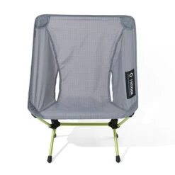
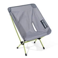
Camping & Travel
Original price was: $150.00.$97.99Current price is: $97.99.
Sale!

Camp Stoves, Grills & Heaters
Original price was: $44.99.$31.49Current price is: $31.49.
Sale!
Backyard & Camp
Original price was: $149.95.$97.99Current price is: $97.99.
Sale!


Camping & Travel
Original price was: $21.99.$15.39Current price is: $15.39.
Sale!


Camping & Travel
Original price was: $24.95.$17.47Current price is: $17.47.
Sale!


Camping & Travel
Original price was: $19.95.$13.97Current price is: $13.97.
Sale!


Camping & Travel
Original price was: $199.99.$99.99Current price is: $99.99.
Sale!


Camping & Travel
Original price was: $29.95.$20.97Current price is: $20.97.
Reviews
There are no reviews yet.